Autonomous vehicle manufacturing consultancy
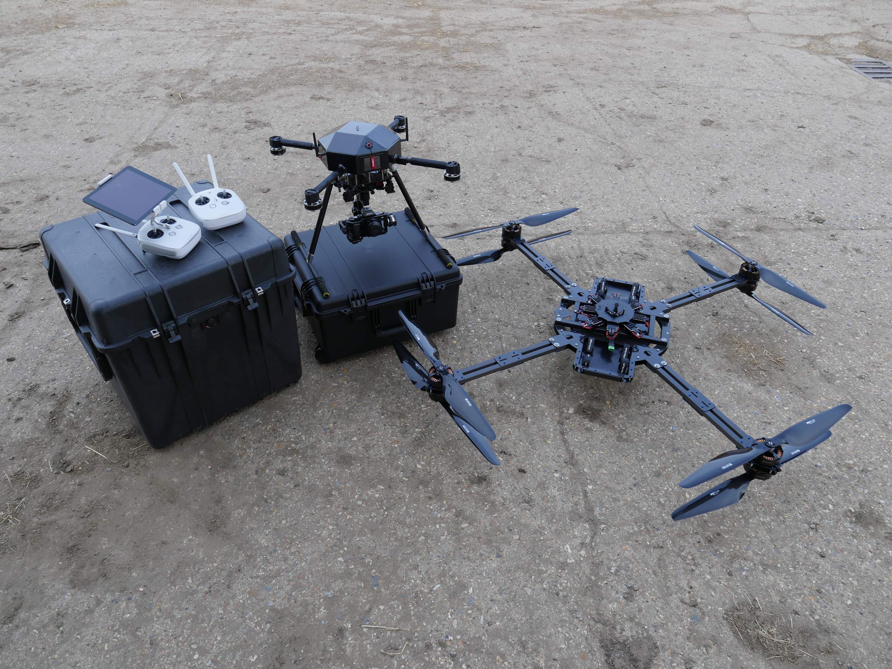
We class ourselves as a manufacturing consultancy. We are in a unique position to be able to research, design, manufacture and deliver/commission a host of cutting edge unmanned remotely piloted vehicles. Due to our technical background we are also specialists in sensor operation and integration. This includes LiDAR, thermal, infra-red, gas/particulate, radiation, magnetometer and optical sensor payloads. We are available not only foe build and deliver, but also build and operation, if you have a specific problem, with currently no known way of achieving the results you need, we can help. Platforms available include fixed wing drone aircraft, multirotor hexacopters and octocopters, ground autonomous rovers and lighter than air vehicles such as blimps and weather balloons.
Consult & Quote
Design & Manufacture
Deliver & Commission
Paving the way to the future
We have been operating in this industry sector for nearly half a decade now. We have seen many changes in drone technology. But we have also made many changes, developing novel, new to market platforms and sensor systems. Thanks to our ability to design and manufacture bespoke aircraft and ground vehicles for any purpose we can bring to market quickly new technologies for our clients. We can also easily integrate your sensor packages into more off the shelf platforms
Aerial LiDAR
We developed a large coaxial aircraft capable of taking the VUX-1 LiDAR scanner, and where the first to produce a survey grade aerial mapping system. Capable of conducting 4-8mm LiDAR scans in regions where a full size helicopter would not be practical or cost effective.
Autonomous Inspection
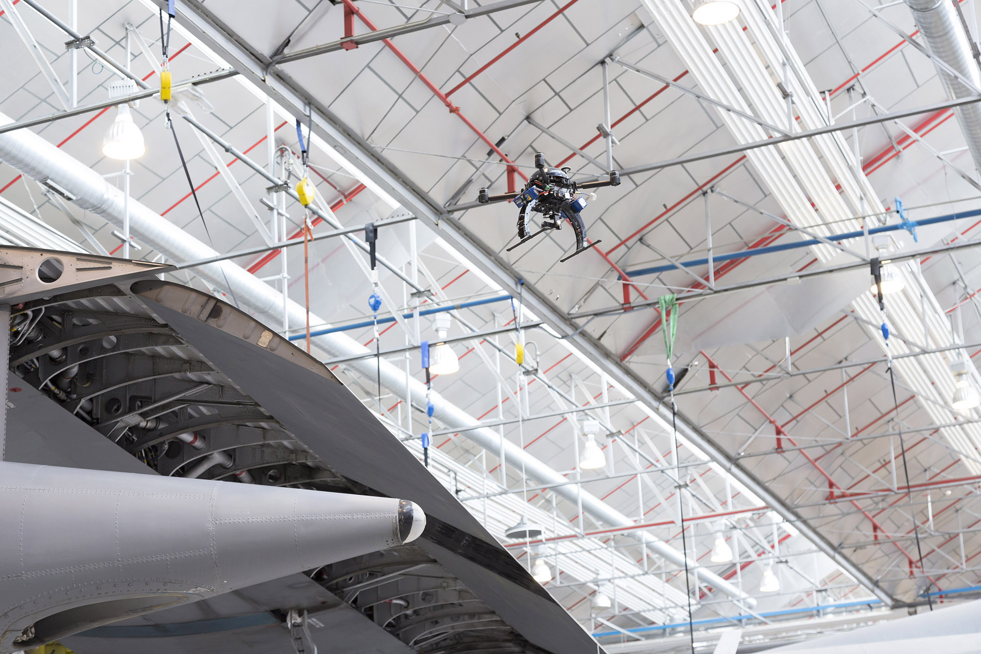
Working with Easyjet and Airbus we have been pioneers in the field of autonomous aircraft inspections. We have a vision of fully autonomous drone aircraft capable of detecting mm scale damage on an airliner, and that vision is becoming a reality, rapidly. We have developed working prototypes for this technology and are actively involved in bringing this to the mass market
UXO Detection
We have successfully integrated advanced Magnetometers into our unmanned aerial vehicles, capable of detecting ferrous materials down to 2m. We have passed the prototyping stage on this technology and are actively deploying these systems around the world
Collision avoidance
Thanks to new sensor breakthroughs we are able to implement novel fully automatic collision avoidance systems on our ground rovers and remotely piloted aircraft. We utilise laser scanners, range finders, optical flow sensors, radar, depth cameras and ultrasonic range finding systems. This enables us to reliably detect any object in the path of our autonomous vehicles.
Operational Sectors & Industries
Aviation
We have been at the forefront of producing autonomous vehicles for air side structural inspections active military and civilian passenger jets. Capable of detecting sub millimetre damage, and considerably reducing engineering and maintenance time, saving the airlines literally millions every year.
Military
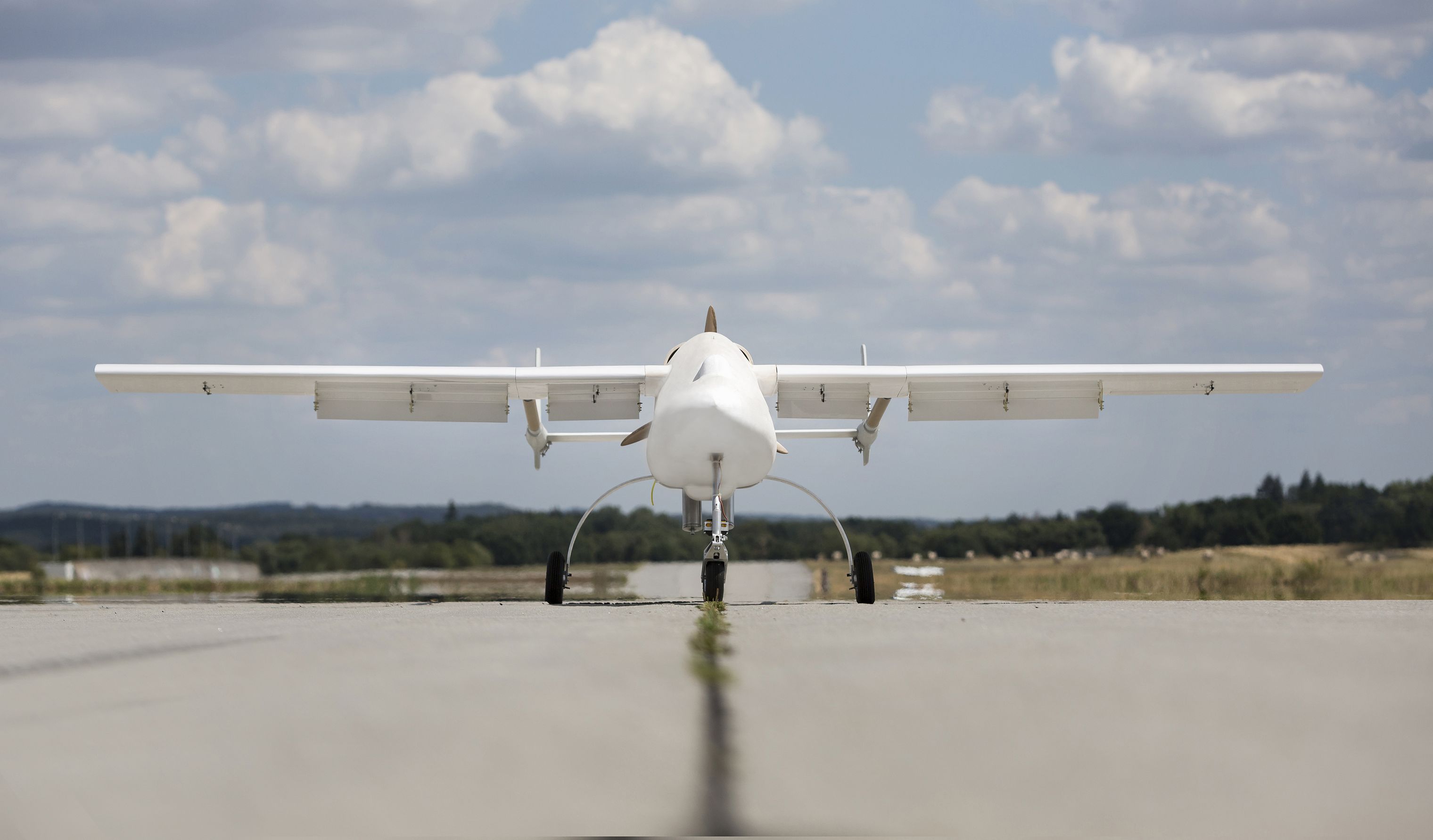
We are able to put an aircraft in the sky, that can be silent at 100m, with 50 times optical zoom, and an endurance of over 24 hours, what battlefield commander wouldn’t want this type of drone aircraft on his side. Tactical deployments in active battle fields can also utilise multirotor platforms that can be deployed and controlled by a single operator, giving live, encrypted eyes in the skies back to command and control to aid in critical decision making
Transport
Recent work includes building and operating a LiDAR platform to survey several rail viaducts, uniquely being able to map the underside of these structures. Ground penetrating radar is also possible for detecting internal problems of tunnel links, and tube lines, using our autonomous ground vehicles.
Civilian
The main focus of the civilian markets is generally optical sensors on off the shelf ready to fly multirotor platforms. We have our own quadcopter and octocopter platforms, which can carry up to 4kg payloads, usually a high resolution 40 megapixel plus sensor to do visual or photogrammetry surveys.
Energy
It is a big sector that spans the globe. Oil, gas, nuclear, wind turbines, solar, fossil, all of these industries have need for unmanned aerial vehicles. Visual inspections of assets such as wind turbines. Aerial Radiological surveys of nuclear plants. Magnetic field surveys using magnetometers of potential new refinery sites, or for removing unexploded ordinance using drone technology.
Construction
Much the same as the transport sector. We can provide systems that can be used for initial site surveys, construction planning, feasibility surveys, promotional materials, 3D modelling and even site security. The technology has become so accessible to the mass markets that even bespoke ready to fly solutions are cost effective and offer every day usage for most sectors of the construction industry.
Next generation unmanned vehicle manufacturing
We operate at the leading edge of our industry, setting the standards and producing world first, or new to market technologies. Often a lot of our work is shrouded in NDAs or is classified, but when dealing in technologies which are literally just being invented as we are integrating them into our aerial and ground platforms, it is to be expected. We can cater for civilian projects, research studies, government trials, even simple off the shelf unmanned aerial vehicles for cinema aerial photography.
Aerospace materials
We are able to operate systems to centimetre accuracy using real time kinematics and differential GPS. We also incorporate laser altimeters, range finders, optical flow sensors, depth cameras and state of the art inertial measurement units to position and control of platforms. We have options available for both the civilian and military markets and use autopilots from Micropilot, 3DR, Lockheed Martin, DJI, and Cloudcap Technologies.
Cutting edge electronics
We are able to operate systems to centimetre accuracy using real time kinematics and differential GPS. We also incorporate laser altimeters, range finders, optical flow sensors, depth cameras and state of the art inertial measurement units to position and control of platforms. We have options available for both the civilian and military markets and use autopilots from Micropilot, 3DR, Lockheed Martin, DJI, and Cloudcap Technologies.
State of the art sensors
Sensors are at the heart of our business. Specialists in aerial LiDAR, being the first company to produce an industrial grade LiDAR mapping platform. We have also successfully integrated FLIR thermal sensors, Geiger counters, gas and contaminant sensors, magnetic field sensors and almost all optical technologies. Generally, each technology has its own set of hurdles to overcome in terms of aircraft design, hence why we generally build bespoke unmanned aerial vehicles for each type of aerial sensor platform. .
Autonomous Sensors
Cutting edge payload integration

LiDAR
LiDAR uses the same principles as RADAR, however it uses light as its source. Bouncing photons of the target and looking at the reflected light it builds up a point cloud of the target. Typically this is in the order on millions of points per second and they operate at a range up to 100m. We use the Riegl VUX-1 system as well as Routescene, depending on the level of detail required.

Photogrammetry
This technology builds up an interactive 3D model of the subject from a number of still 2D images. Typically, this will be rock faces, buildings, transport networks etc. Particularly useful for producing 5-10cm resolution maps of large areas, and terrain elevation models. We work extensively with PIX4D to process data, and analyse large image sets.

Radiation Detectors
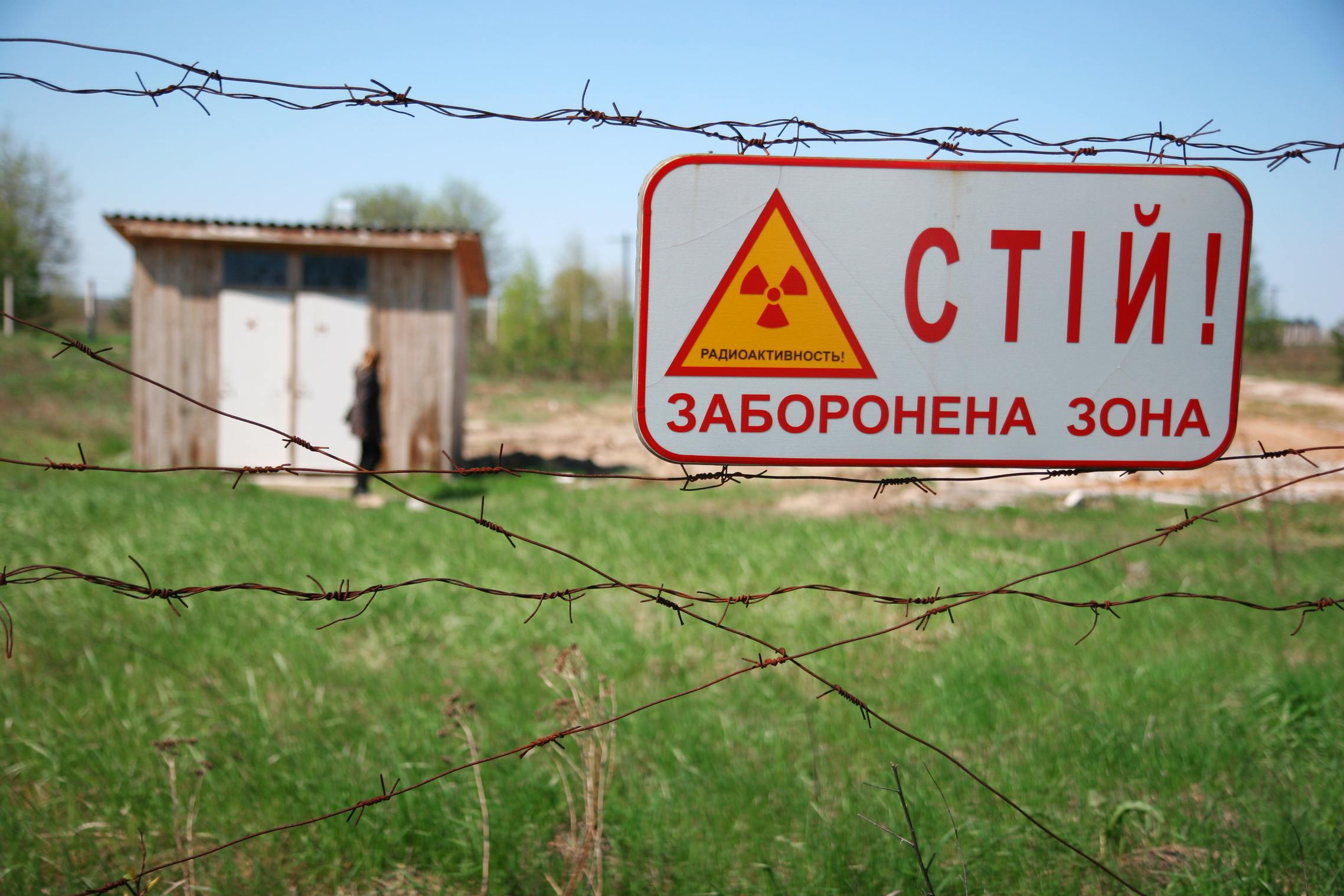
The scope for this is extreme, on one end we have counter terrorism usage, on the other end, site surveys from disaster zones, or where there has been a sizeable radiation release into the atmosphere. So far we have successfully used aerial Geiger tubes, and are actively working on aerial Germanium detectors.

Corona Camera
A relatively new technology. This is an optical camera system that can image electrical discharge and weak spots on pylon and other electrical power networks. We have produced a fully working aerial remote vehicle carrying a corona daylight camera, and actively inspected a live Pylon tower for any structural weaknesses

Magnetometer
This is a crucial technology for finding Unexploded Ordinance (UXOs) buried under the ground. We have developed and built specialist UAV drone platforms to carry arrays of these sensors for large area clearances. Able to detect with centimetre precision down to 2m below the surface and whilst traveling at 30kmph+ on a multirotor platform.

Infrared
Thermal and IR have uses from search and rescue to building maintenance. Whilst near IR, or false colour imagery, are able to distinguish two very similar materials. As an example, we can select the wavelength of interest, and this will be highlighted above all others in the aerial footage.
Command and control accross the globe
Modern passenger airlines have been using this technology for some time now. However, the processing power and infrastructure required has for some time been restrictive. But we are currently installing one of the first civilian systems for real time worldwide telemetry from the aircraft we manufacture. Also possible to retrofit to systems we didn’t manufacture. This technology in the simplest terms can allow us to see a problem before the end user is even aware of it.
-
3G, 4G, UHF & Iridium
In the modern connected world, everybody is talking about the “Internet of Things (IoT)”. We have taken that one step further and produced a system to give 2-way control and worldwide feedback of our drone aircraft and ground vehicles back to HQ, from anywhere on the globe the vehicle is being operated. Triple redundant communication systems are in use to achieve this. Running on the 3G, 4G and Iridium networks, we can achieve global coverage 365 days a year.
-
Realtime worldwide telemetry
Typically, we have latency in the region of just a few seconds from anywhere on the planet in the readings returning from our aircraft. Alarms can be set on a client by client basis. From alerting us to a vehicle being moved outside of a controlled zone, to notifying us of a malfunction, or live streaming of recorded data back to our servers here in England for backup and security. Literally anything is possible with this system.
Our clients, past and present


